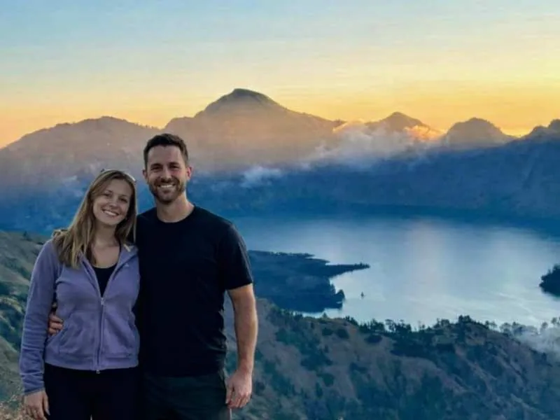
Mount Rinjani’s crater lake and dramatic ridges tell the story of a landscape shaped by powerful eruptions. Located on Lombok Island, Indonesia, the Rinjani volcanic complex includes the main summit, Segara Anak Lake, and the younger volcanic cone of Mount Barujari.
Understanding Rinjani volcano eruption history adds another dimension to the trek. The view from the crater rim reveals the remains of an ancient volcano alongside a cone that has continued erupting in historical times.
Is Mount Rinjani an Active Volcano?
Yes. Rinjani is an active volcanic complex. Its main summit reaches 3,726 metres above sea level, while much of its recorded historical eruptive activity has occurred at Barujari, inside the Segara Anak caldera.
Barujari and Rinjani’s main summit are different features within the same volcanic complex. This distinction helps explain why reports of a “Rinjani eruption” often describe activity at the smaller cone beside the lake.
The Great Samalas Eruption of 1257
The most significant eruption associated with the Rinjani volcanic complex occurred in 1257 at Mount Samalas, a volcano that once stood beside Rinjani.
The eruption expelled enormous quantities of volcanic material and formed the large caldera now partly occupied by Segara Anak Lake. Researchers identified Samalas as the source of this event by comparing volcanic deposits, radiocarbon dates, historical records, and particles preserved in polar ice.
Their findings place the eruption among the largest explosive volcanic events of the Holocene—the geological period covering approximately the last 11,700 years.
Its effects extended far beyond Lombok. Sulfur released into the atmosphere contributed to global cooling and may have disrupted harvests. The landscape visitors see today is connected to an event with worldwide consequences.
Mount Barujari: The Volcano Inside the Caldera
Volcanic activity continued after the collapse of Samalas. Younger cones developed within the caldera, including Barujari.
Barujari forms a striking part of the view across Segara Anak Lake. Its recorded eruptions have included explosive activity and lava flows, some of which entered the lake. Although these events were much smaller than the 1257 eruption, they demonstrate that the volcanic system remains active.
Notable Rinjani Eruptions in Recent History
The 2015 Eruption
An eruption began at Barujari on 25 October 2015. The episode produced repeated ash emissions and lava flows that reached Segara Anak Lake. Reports documented ash plumes reaching approximately six kilometres above sea level, with activity continuing into December.
The 2016 Eruptions
Further eruptions occurred in August and September 2016. On 27 September, an explosive event at Barujari produced an ash plume reported at approximately two kilometres above the crater.
Authorities raised the volcanic alert level and introduced restrictions around the active crater. These measures applied to that historical event. Visitors should consult current official notices for today’s restrictions.
What Does Volcanic Activity Mean for Trekking?
A history of eruptions cannot establish whether a particular trekking route is open or suitable for your travel dates. That decision requires current information about volcanic activity, national park access, weather, and trail conditions.
Before travelling:
- Check the latest PVMBG or MAGMA Indonesia volcanic notices.
- Confirm route access with Mount Rinjani National Park and your trekking operator.
- Follow official exclusion zones and instructions from park staff.
- Allow flexibility if conditions require a route change or cancellation.
Past eruption reports are useful for understanding the mountain, but they should never replace current guidance.
Discover the Landscape Behind the History
Rinjani’s volcanic history is visible across the caldera: the steep walls left by the Samalas eruption, the water of Segara Anak, and the younger Barujari cone.
Knowing this history makes the scenery more meaningful. A Rinjani trek offers an opportunity to appreciate a landscape that continues to evolve and to explore it with respect for the mountain and the official guidance that governs access.